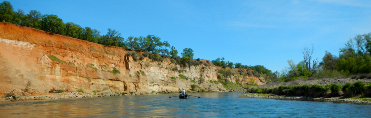
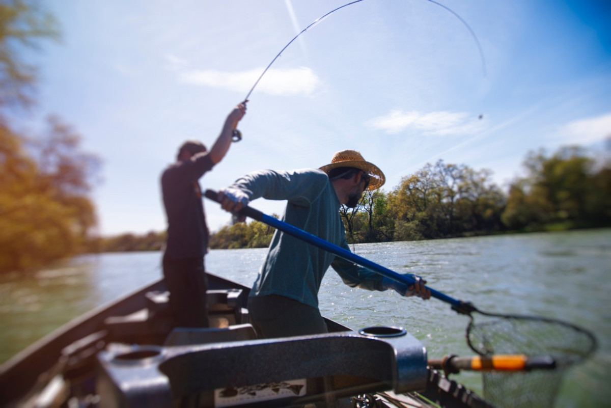
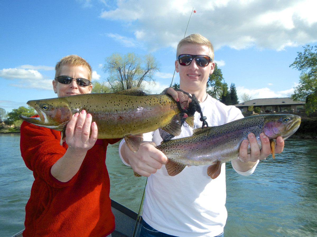
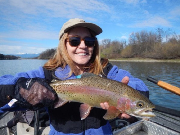
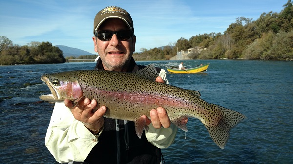
The Lower Sacramento River begins with the release of water from Shasta Lake at Shasta Dam near Redding. It is created by water flowing into it from the Upper Sacramento, Pit and McCloud Rivers which are fed primarily by the abundant snow pack and year round springs of far Northern California. The combination of cold water and controlled flows makes the Lower Sacramento a prime year round fishery. It is rated as one of the best tail waters in the United States producing monster sized Rainbow Trout. The river is populated mainly by these Rainbows and an abundance of Salmon. Nymphing is the preferred technique but dry fly fishing is available at times especially in the spring and summer when the blanket caddis hatch occurs. The primary salmon run occurs in the fall making the egg hatch then prime time for Rainbows. The river flows from the dam through downtown Redding and then further south to the Pacific through San Francisco Bay. It is very accessible and user friendly in and around Redding. The weather or lack of it makes it even more attractive all year with many winter days enjoyably warm and comfortable. The river is so larger that float trips are the norm but some wading is available during winter and spring months. Wild Waters Fly Fishing trips covers 30 miles of the river from Redding to Red Bluff and can accommodate small or large groups if desired. We are also happy to assist you with lodging and travel if desired.
BEST SEASON= All year long depending on flow fluctuation.
CHECK OUT THE FLOWS
Follow Us!